

Aerial slope checks urged for Australia's high-risk roads
Wed, 9th Sep 2026 (Today)
Civil Geotechnical Consultants has called for high-precision aerial assessments to become standard practice on high-risk road corridors in Australia, warning that current roadside inspection methods can miss slope hazards.
The call comes as landslides, rockfalls and slope failures become a more prominent threat during periods of extreme weather. The RSK-owned engineering firm argues that many road authorities still rely on assessments conducted from road level, where engineers may not be able to see the upper sections of a slope.
That can leave authorities making judgments with incomplete information, particularly in steep terrain or after heavy rainfall. Geoscience Australia has identified saturation of slope material from rainfall or seepage as a natural trigger for landslides, while research by the Bureau of Meteorology and CSIRO found the intensity of short-duration extreme rainfall has increased by at least 10 per cent in some parts of Australia in recent decades.
The financial backdrop is also worsening. Insurers incurred AUD $2.19 billion in claims from declared extreme-weather events in 2023-24, and Australia ranks second globally for weather-related losses per capita, according to industry data cited by the firm.
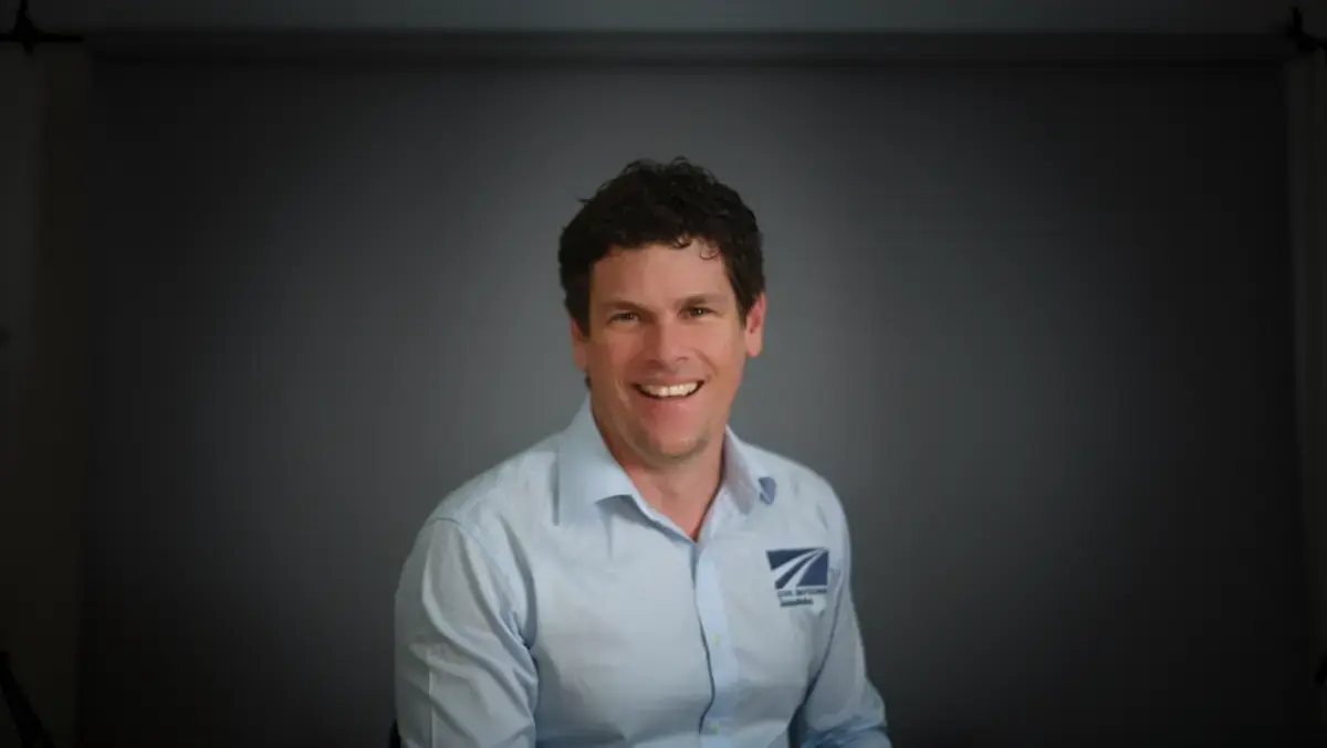
Ian Thompson, director and geotechnical engineer at Civil Geotechnical Consultants, said traditional inspection methods have changed little over the past 15 years despite shifting weather patterns and growing pressure on transport networks.
"When you assess a slope from the road, you often can't physically see the top of it, so you're making educated guesses about what's up there. If you don't find a hazard, you never understand the risk. If you find it but get it wrong, you're either underestimating the risk or spending public money on a risk that may not exist," Thompson said.
Aerial mapping can give engineers a more complete view of road-adjacent slopes and create a record against which later movement or deterioration can be measured. The method is intended to supplement established inspections rather than replace them.
Changing assessments
Civil Geotechnical Consultants began using drone-based three-dimensional slope modelling in Australia in 2019 and has continued refining the process. The firm says engineers can survey a high-risk site in under two hours, identify features not visible from ground level and build a model with centimetre-level accuracy.
The same process can also be used after cyclones or storms, when road owners need to inspect slopes quickly before reopening routes. In regional and remote areas, that can be especially important, as closures can cut communities off and post-disaster repair windows are often tight.
"We can fly a site in an hour or two and build a three-dimensional model with high precision," Thompson said.
"That kind of detailed rock-face mapping used to take three days with a geologist and a compass. Drone technology delivers much better information that governments and road owners can make safety decisions on.
"At CGC, we're seeing more extreme weather events, and we're seeing them more often. Each year brings more disaster-related events, which means more slope failures, more risk and more assessments, and those events are reaching further south and further inland than they used to," Thompson said.
The issue is most acute in areas with steep and uneven terrain, high rainfall and limited infrastructure investment. Those conditions can make routine visual inspections more difficult and increase the consequences of an undetected slope failure.
"The highest-risk places are the ones you would expect: steep, uneven, high rainfall and not a lot of infrastructure investment," Thompson said.
Wider use
Beyond road corridors, the firm is using the same assessment method for earthworks measurement, construction monitoring, inspections of cuttings and embankments, and post-rain movement checks on slopes. It can also be used after a rockfall to measure how far debris has travelled, helping inform exclusion zones, fencing and signage.
The technology is also being applied at hard-to-reach sites close to buildings and in structural inspections, including bridges. That broader use reflects a shift in engineering assessment work towards remote data capture in places where access is difficult, time-consuming or potentially unsafe.
Civil Geotechnical Consultants employs more than 35 engineers across offices in Brisbane, Cairns, the Gold Coast, Melbourne, the Sunshine Coast and Townsville. The business works on transport and civil infrastructure projects and joined RSK's Australia division in late 2025.
The firm argues that better visibility of slopes before failure could reduce the risk of emergency closures, improve the targeting of maintenance spending and give road owners a stronger basis for judging whether hazards are worsening over time.